Climate and disaster risk
Identify vulnerable communities, assets and infrastructure before crises occur.
Africa Geospatial Leadership Forum 2026
An invitation-only forum for leaders shaping development, investment and institutional action across Africa.
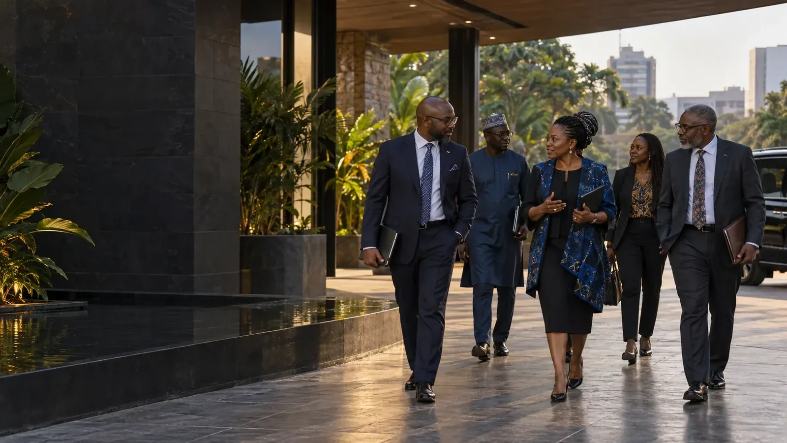
Across public policy and private investment, the quality of a decision increasingly depends on understanding where people, assets, risks and opportunities meet.
Ghana and the wider African region are entering a decisive phase of digital transformation. Governments, businesses and development institutions need faster, better and more transparent decisions amid rapid urbanisation, climate risk, food security pressures, infrastructure gaps and growing demand for investment-ready data.
Spatial intelligence combines geospatial data, Earth observation, location-based analytics, digital maps, artificial intelligence and cloud-enabled data systems to move institutions from reactive planning to evidence-based leadership.
The leadership questionHow can Ghana and African institutions use spatial intelligence to improve decisions, reduce risk, unlock investment and accelerate sustainable development?
Strategic objectives
Elevate spatial intelligence as a leadership priority for policy, strategy, investment and institutional performance.
Demonstrate practical value across agriculture, mining, finance, insurance, infrastructure, logistics, climate resilience, cities and environmental governance.
Create trusted dialogue between government leaders, CEOs, investors, development partners and technology providers.
Identify pilot projects, partnerships, executive training, data platforms and investment-ready solutions.
Build a recurring platform that begins in Ghana and expands across West Africa and the continent.
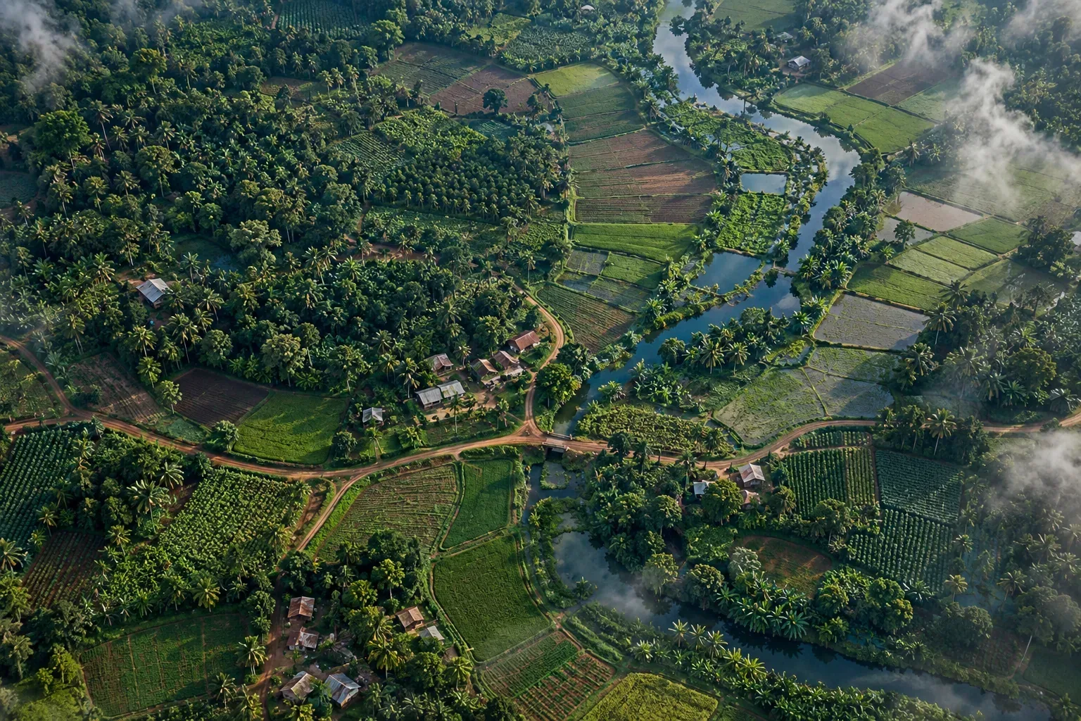
Spatial intelligence / in practice
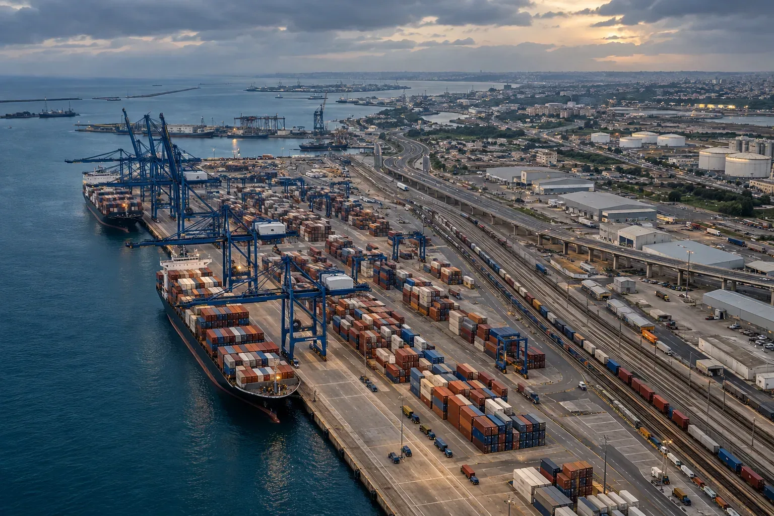
From urban growth and trade corridors to productive land, location reveals how Ghana’s most important systems connect.

Why now
Spatial intelligence turns questions about people, assets, risks, markets and resources into evidence leaders can act on.
Identify vulnerable communities, assets and infrastructure before crises occur.
Plan roads, utilities, housing, transport and public services with better evidence.
Improve crop monitoring, land use, irrigation decisions and market access.
Monitor land degradation, compliance, rehabilitation and responsible resource use.
Strengthen risk assessment, asset valuation, climate finance and portfolio planning.
Map corridors, bottlenecks, markets and infrastructure needs for regional trade.
Featured Speakers
Leaders shaping the conversation around geospatial intelligence and Africa’s development.
 AGLF / 2026
MD, BigData Ghana
Host
Henry Kwamena Baffoe is the Managing Director of BigData Ghana, an organisation associated with data-driven solutions and geospatial intelligence. At the Africa Geospatial Leadership Forum 2026, he serves as host for the welcome address, anchor for the Leaders’ Conversation, and lead for the closing session. His role places him at the centre of the forum’s engagement with leaders working to advance spatial intelligence and evidence-based decision-making across Africa.
 AGLF / 2026
TechReview Africa
Spotlight Host
Nana Appiah Acquaye is a Ghanaian journalist and technology communications professional with extensive experience covering developments across technology, telecommunications, digital transformation, science, innovation and public policy. He is associated with TechReview Africa, where his work focuses on reporting and analysing developments shaping Africa's technology and innovation landscape. His coverage spans emerging technologies, artificial intelligence, digital infrastructure, space science, satellite technology and the role of innovation in Africa's socio-economic development. Through his journalism and communications work, Nana contributes to conversations around Africa's digital transformation, technological advancement and the importance of building local capacity to participate in the global digital economy. His interests also extend to science communication and raising awareness of Africa's growing role in the global space and technology sectors. He has undertaken professional development with the International Center for Journalists (ICFJ) and is actively engaged in technology and media communications in Ghana.
 AGLF / 2026
EPA
Panelist
Prof. Nana Ama Browne Klutse is a distinguished Ghanaian physicist, climatologist, and academic leader. She serves as an Associate Professor and the Head of the Department of Physics at the University of Ghana, where her research focuses on climate dynamics, the African monsoon, and climate risk assessments. On an international level, Prof. Klutse is deeply involved with the Intergovernmental Panel on Climate Change (IPCC), serving as a Vice-Chair for Working Group I for the seventh assessment cycle after previously contributing as a Lead Author for the Sixth Assessment Report (AR6). Domestically, she was appointed as the Acting Chief Executive Officer (CEO) of Ghana's Environmental Protection Agency (EPA) in January 2025.
Programme days
11 November 2026
DIAGNOSIS & ALIGNMENT
AGLF / 2026
MD, BigData Ghana
Host
Henry Kwamena Baffoe is the Managing Director of BigData Ghana, an organisation associated with data-driven solutions and geospatial intelligence. At the Africa Geospatial Leadership Forum 2026, he serves as host for the welcome address, anchor for the Leaders’ Conversation, and lead for the closing session. His role places him at the centre of the forum’s engagement with leaders working to advance spatial intelligence and evidence-based decision-making across Africa.
 AGLF / 2026
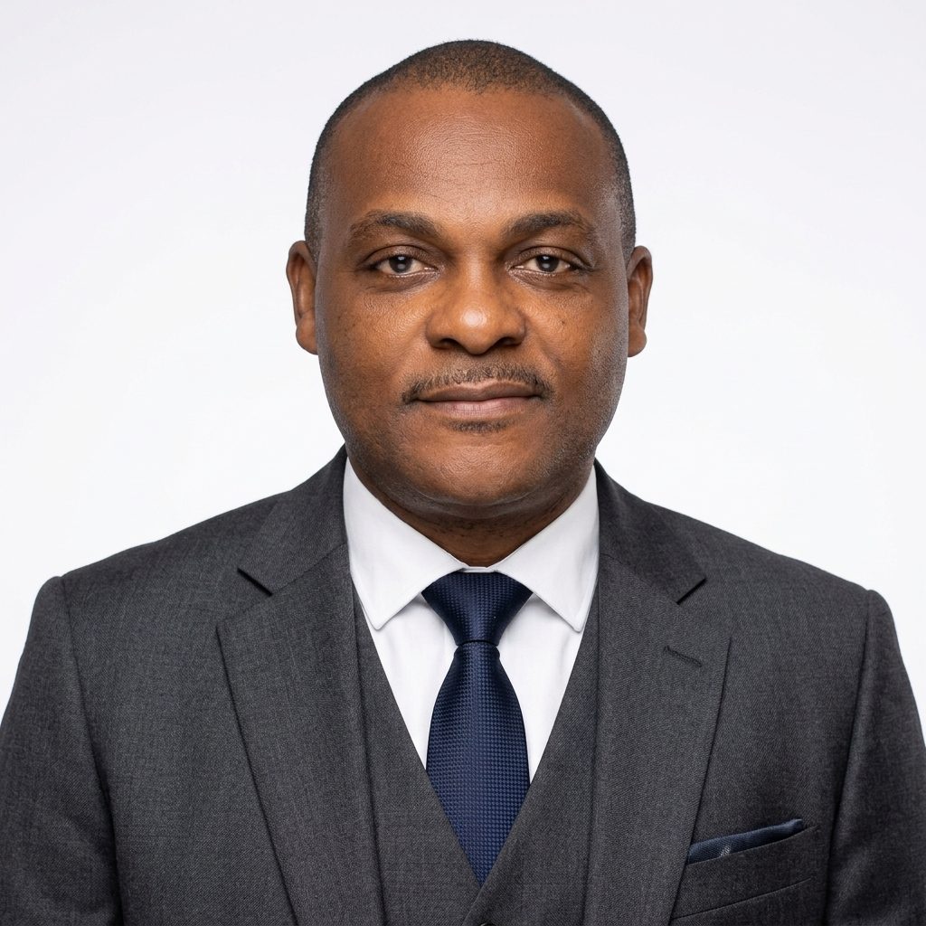
MEST · national science & funding
Panelist
Mr. Kwamena Essilfie Quaison brings a perspective shaped by work across Africa’s geospatial landscape, informing how data becomes decision at AGLF 2026.
 AGLF / 2026
Landss and Natural Resources
Keynote Speaker
Surv. Geoffrey Osafo-Osei Jnr. serves as the Technical Director for Lands at the Ministry of Lands and Natural Resources in Ghana and is a Fellow of the Ghana Institution of Surveyors (GhIS) under the Valuation and Estate Surveying Division.
Technology In Action (Sistema (Agriculture); Digital Earth Africa (Climate-Risk Finance): BigData Ghana).)
Spatial Intelligence In Action - From Data To Decisions.
AGLF / 2026
EPA
Panelist
Prof. Nana Ama Browne Klutse is a distinguished Ghanaian physicist, climatologist, and academic leader. She serves as an Associate Professor and the Head of the Department of Physics at the University of Ghana, where her research focuses on climate dynamics, the African monsoon, and climate risk assessments. On an international level, Prof. Klutse is deeply involved with the Intergovernmental Panel on Climate Change (IPCC), serving as a Vice-Chair for Working Group I for the seventh assessment cycle after previously contributing as a Lead Author for the Sixth Assessment Report (AR6). Domestically, she was appointed as the Acting Chief Executive Officer (CEO) of Ghana's Environmental Protection Agency (EPA) in January 2025.
 AGLF / 2026
Lands & Natural Resources
Panelist
Surv. Jones Ofori-Boadu is the Technical Director for Lands at Ghana’s Ministry of Lands and Natural Resources. He has been involved in Ghana’s land administration reform agenda, including efforts to modernise land records, improve mapping, and strengthen access to reliable land information. His work on the Strategic Land Administration Reform Project highlights the importance of digitisation, systematic land titling, and improved coordination of spatial data in building a more efficient and transparent land administration system.
 AGLF / 2026
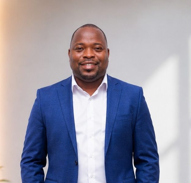
Ghana Geospatial Society / UDS
Panelist
Prof. Prosper Basommi Laari is an Associate Professor of Geospatial and Environmental Science at the University for Business and Integrated Development Studies, Ghana, and National Project Coordinator of the Ghana Productive Safety Net Project (GPSNP) under the Ministry of Local Government, Chieftaincy and Religious Affairs. A geospatial expert, his work spans spatial analytics, land governance, climate resilience, social protection and sustainable development. He serves as Vice President of the Ghana Geospatial Society and Secretary of the Licensed Surveyors Association of Ghana. A former Chairman of the North East Regional Lands Commission, he bridges academic research, public policy and development practice through geospatial innovation and evidence-based decision-making
 AGLF / 2026
Ghana Navy
Panelist
Commander Philip Odoi-Narh brings a perspective shaped by work across Africa’s geospatial landscape, informing how data becomes decision at AGLF 2026.
 AGLF / 2026
National Security
Panelist
C.O.P Vance Gariba brings a perspective shaped by work across Africa’s geospatial landscape, informing how data becomes decision at AGLF 2026.
Agriculture, Climate Risk And Financial Decisions.
 AGLF / 2026
SISTEMA GmbH
Panelist
Ramiro Marco Figuera brings a perspective shaped by work across Africa’s geospatial landscape, informing how data becomes decision at AGLF 2026.
 AGLF / 2026
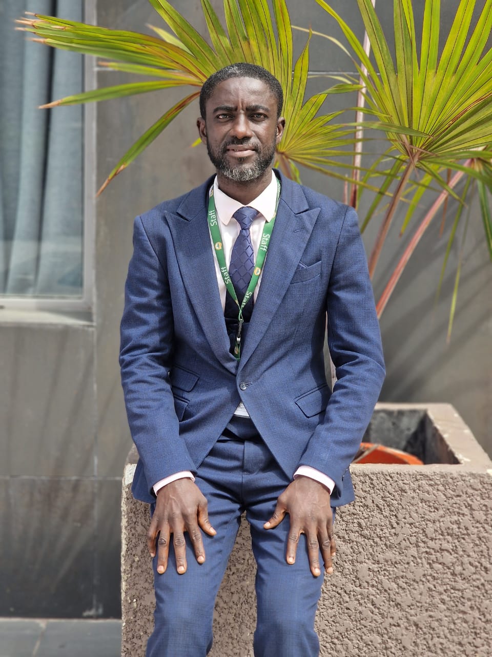
EPA
Panelist
Nathaniel Bempong brings a perspective shaped by work across Africa’s geospatial landscape, informing how data becomes decision at AGLF 2026.
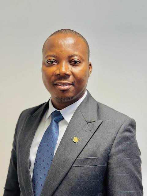 AGLF / 2026
Moderator
Moderator
Cedric Dzelu brings a perspective shaped by work across Africa’s geospatial landscape, informing how data becomes decision at AGLF 2026.
Technology In Action (STAR.VISION (EO/AI, Mining): Enterprise GIS (BDG): Planet Labs)
Financing, Scaling and Institutionalising.
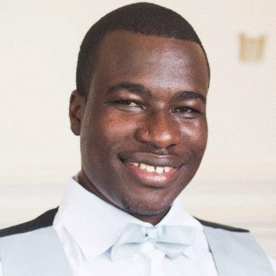 AGLF / 2026
GIS
Panelist
George Senyo Owusu brings a perspective shaped by work across Africa’s geospatial landscape, informing how data becomes decision at AGLF 2026.
 AGLF / 2026
LUSPA
Moderator
Kofi Kekeli Amedzro brings a perspective shaped by work across Africa’s geospatial landscape, informing how data becomes decision at AGLF 2026.
 AGLF / 2026
NDPC
Panelist
Malcolm Yendaw brings a perspective shaped by work across Africa’s geospatial landscape, informing how data becomes decision at AGLF 2026.
 AGLF / 2026
Star Vision
Panelist
Peter Ndiritu Thuku brings a perspective shaped by work across Africa’s geospatial landscape, informing how data becomes decision at AGLF 2026.
 AGLF / 2026
BigData Ghana Limited
Panelist
Priscilla Fianu brings a perspective shaped by work across Africa’s geospatial landscape, informing how data becomes decision at AGLF 2026.
Turning Spatial Intelligence Into Business And Investment
 AGLF / 2026
GMet
Day-2 Host
Dr Ignatius Kweku Williams serves as Acting Deputy Director-General for Operations at the Ghana Meteorological Agency. He contributes to the Agency’s operational leadership and institutional coordination, supporting the delivery of meteorological services and the use of weather and climate information in national planning. His public engagements include stakeholder collaboration on early-warning systems, climate resilience, and initiatives to strengthen institutional capacity and operational effectiveness.
 AGLF / 2026
ICIPE/Digital Earth Africa
Panelist
Edward Oppong Boamah is the Technical Manager for Digital Earth Africa, with extensive expertise in geographic information systems, remote sensing, and spatial data management across Africa. His work combines Earth observation, data science, and geospatial analytics to support evidence-based environmental policy, planning, and natural resource management. Through capacity building and stakeholder engagement, Edward helps institutions turn satellite data into practical insights for water management, environmental protection, and climate resilience. He holds master’s degrees in data science and Geographic Information Science, and a bachelor’s degree in Geomatic Engineering. He is currently pursuing a PhD in Sustainable Land Management. Edward brings an Africa-wide perspective on how space technology can support action on the ground in Ghana, strengthening institutions’ ability to monitor environmental change and make informed decisions for a more resilient future.
 AGLF / 2026
MTN Ghana
Panelist
Ms. Amerley Ampofo brings a perspective shaped by work across Africa’s geospatial landscape, informing how data becomes decision at AGLF 2026.
What Should We Do Differently?
AGLF / 2026
MD, BigData Ghana
Host
Henry Kwamena Baffoe is the Managing Director of BigData Ghana, an organisation associated with data-driven solutions and geospatial intelligence. At the Africa Geospatial Leadership Forum 2026, he serves as host for the welcome address, anchor for the Leaders’ Conversation, and lead for the closing session. His role places him at the centre of the forum’s engagement with leaders working to advance spatial intelligence and evidence-based decision-making across Africa.
AGLF / 2026
TechReview Africa
Spotlight Host
Nana Appiah Acquaye is a Ghanaian journalist and technology communications professional with extensive experience covering developments across technology, telecommunications, digital transformation, science, innovation and public policy. He is associated with TechReview Africa, where his work focuses on reporting and analysing developments shaping Africa's technology and innovation landscape. His coverage spans emerging technologies, artificial intelligence, digital infrastructure, space science, satellite technology and the role of innovation in Africa's socio-economic development. Through his journalism and communications work, Nana contributes to conversations around Africa's digital transformation, technological advancement and the importance of building local capacity to participate in the global digital economy. His interests also extend to science communication and raising awareness of Africa's growing role in the global space and technology sectors. He has undertaken professional development with the International Center for Journalists (ICFJ) and is actively engaged in technology and media communications in Ghana.
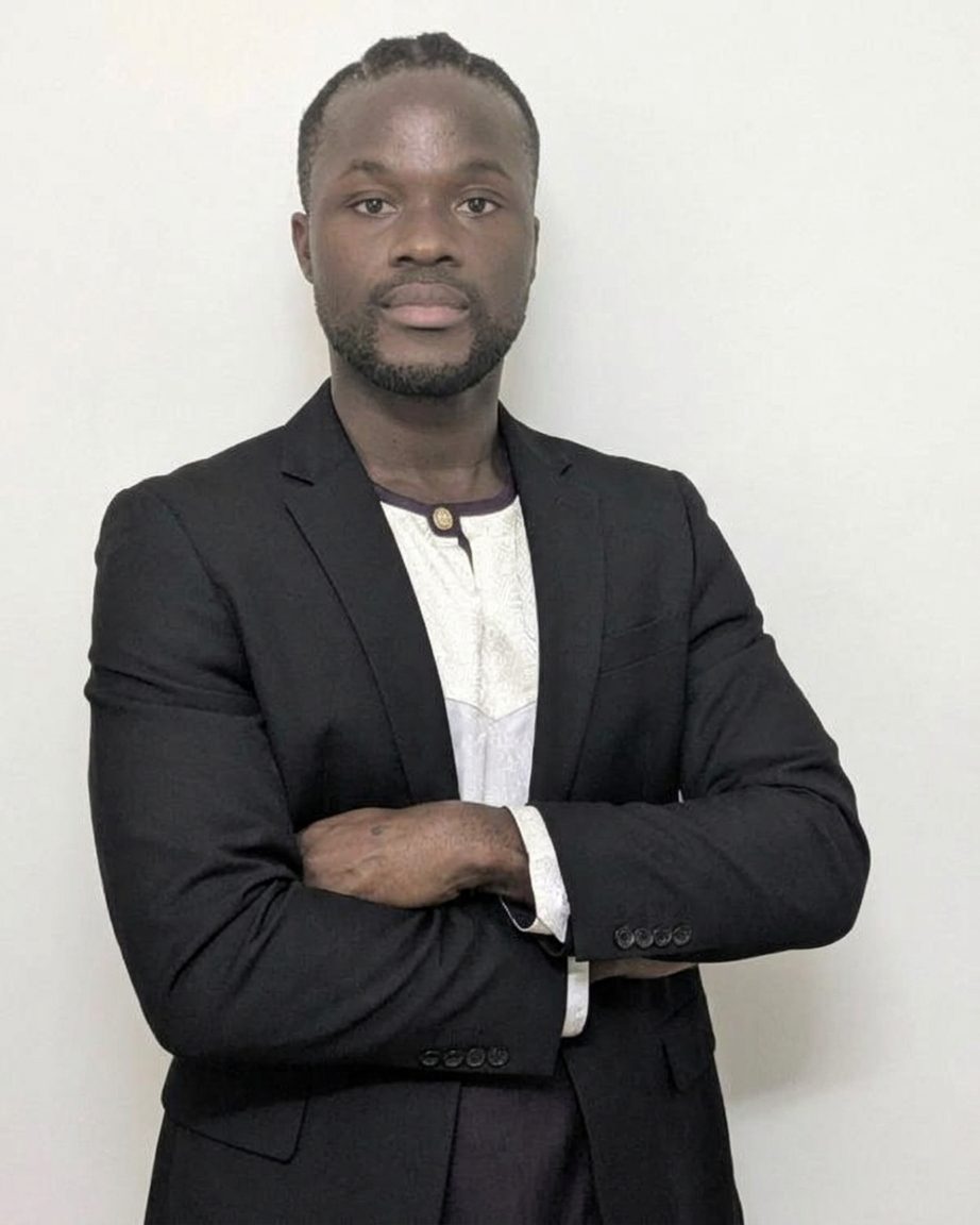 AGLF / 2026
SpaceHubs Africa
Panelist
Kwaku Sumah is the Founder and Managing Director of SpaceHubs Africa, a consultancy supporting policymakers, industry players, investors, and start-ups across the African space sector. He has worked with European and African space institutions on consulting, policy, market development, communications, and space-ecosystem development. He also serves as Community Manager for Africa at the European Space Support Office and supports communications for the Copernicus Marine Service. His academic background includes studies in Physics and Astronomy and a master’s degree in Management.
 AGLF / 2026
University of Ghana
Panelist
Dr. ALex Barimah Owusu brings a perspective shaped by work across Africa’s geospatial landscape, informing how data becomes decision at AGLF 2026.
12 November 2026
TECHNICAL TOUR
Meteorological Observation Systems, Satellite And Earth Observation Data, Forecasting, Climate Information And Early-Warning Services.
The forum is designed to help leaders understand, finance and deploy spatial intelligence for practical development and business outcomes.
The forum is built around real institutional decisions, not geospatial technology for its own sake.
Direct public investment to the places where service gaps and population needs intersect.
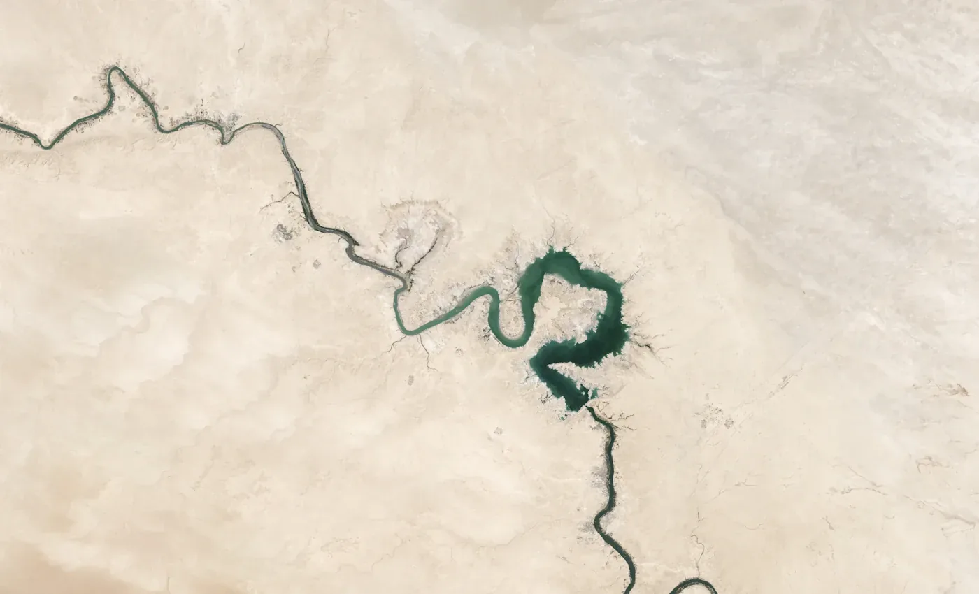
Target adaptation funding and protect the communities and assets most exposed to climate risk.
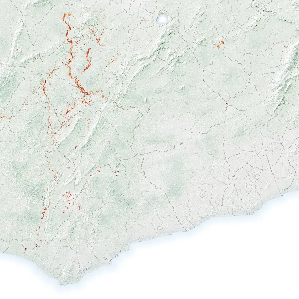
Monitor land-use change, prioritise enforcement and guide restoration with spatial evidence.
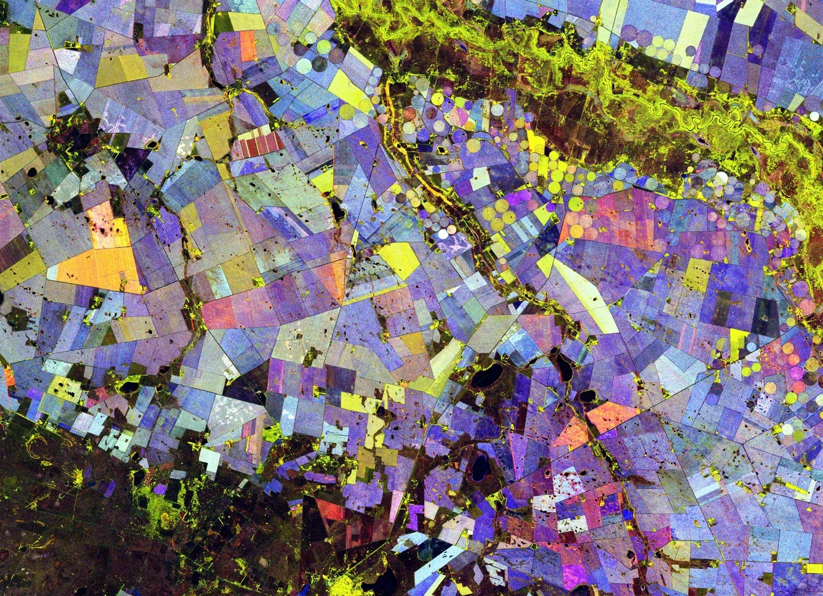
Focus crop support, irrigation and market investment using evidence of conditions on the ground.

Assess location-based risk and allocate capital with a clearer view of asset exposure.

Prioritise the connections that unlock growth and remove costly transport and trade bottlenecks.
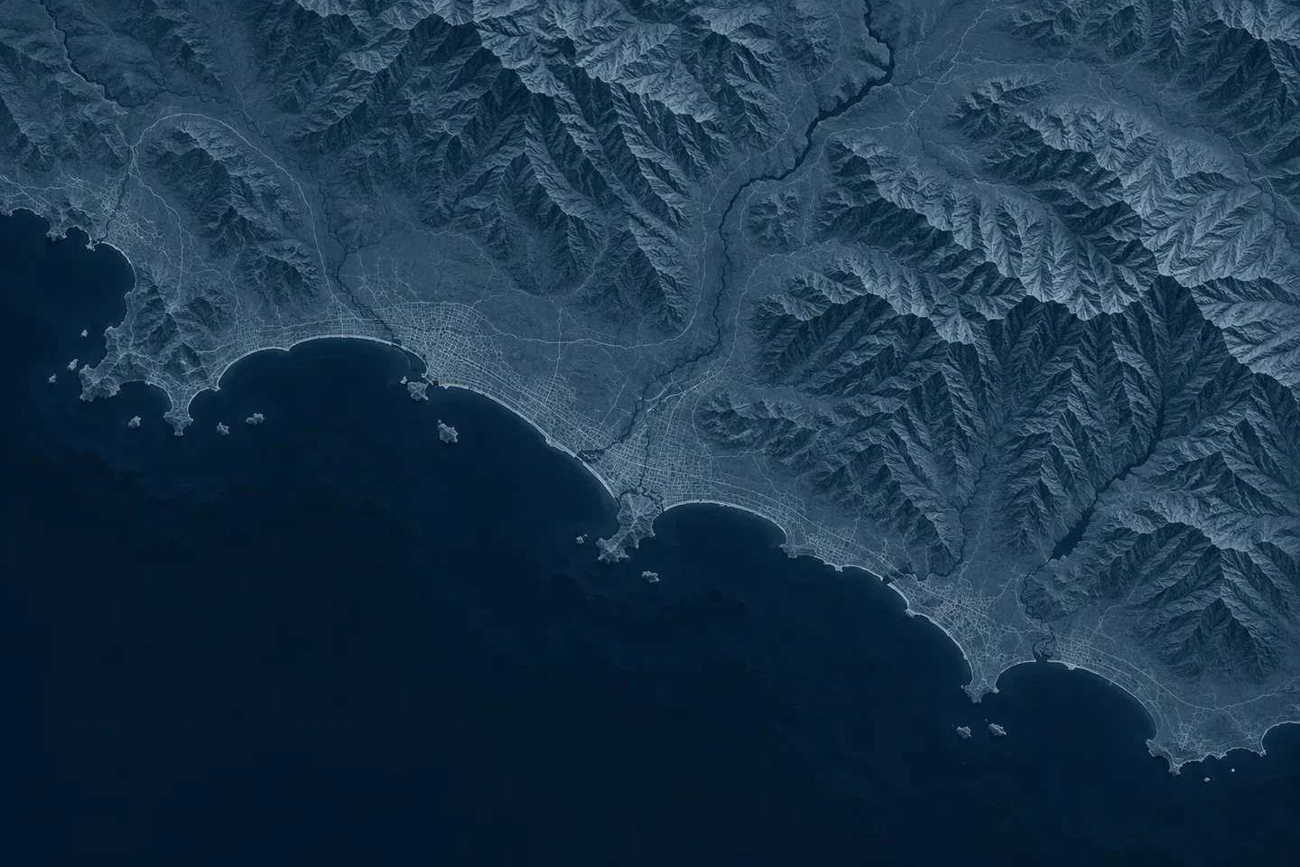
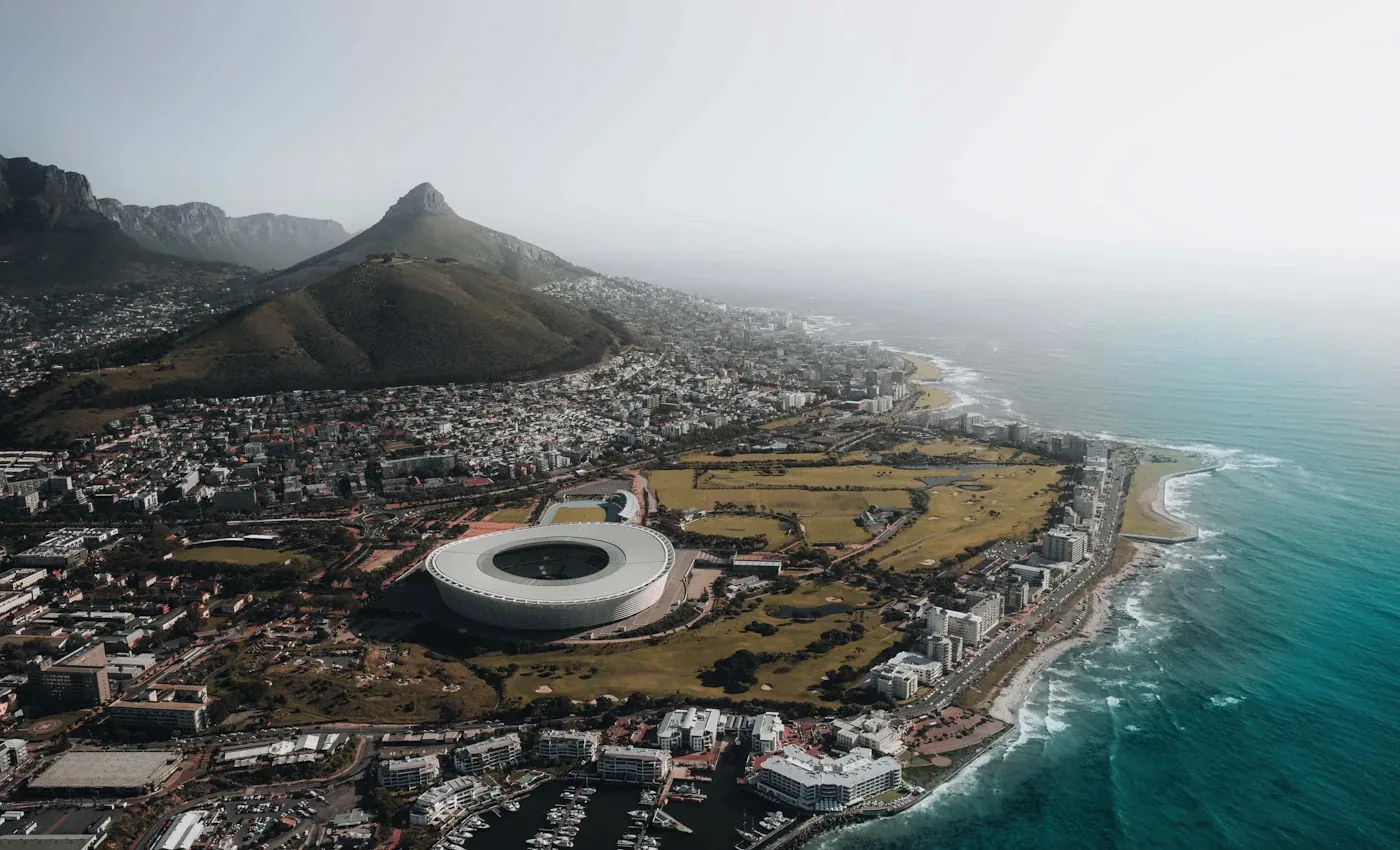
Illustrative aerial photography and satellite-derived imagery, including a Ghana mining-change map and a South African radar composite. Source credits are linked on each card.
Host and convening institution
Bringing experience in data solutions, geospatial applications, analytics and cloud-enabled digital transformation to the forum.
Link hereStrategic partner
Supporting stakeholder engagement, partnerships, programme development, communication, protocol and event delivery.
Link hereThe room
A deliberately curated mix of public, private and institutional leadership.
Partners & Sponsors
Working together to advance geospatial intelligence and leadership across Africa.
Partners









Practical information
The forum takes place in Accra, Ghana. Confirmed venue details for participants will be published here.
Venue
City: Accra, Ghana. Date: 11 November 2026
Media & press
Media accreditation, press materials and coverage will be shared here. Members of the press are invited to apply for accreditation closer to the forum.
For the media
Accreditation details, press releases and background materials will be published here ahead of the forum.
Press contact
Dedicated press contacts will be announced here. General enquiries may be directed to our press mailbox. aglf@bigdataghana.com
After the forum
Following AGLF 2026, the forum's report, outcomes, key discussions, photographs and selected recordings will be published here as they become available.
To be published after the forum.
Highlights and themes from the session.
Agreed priorities, commitments and next steps.
Photographs from the forum.
Available recordings, where quality permits.
11 November 2026 Accra, Ghana
Request consideration for Ghana's first high-level forum connecting location-based evidence with development, investment and institutional leadership.
Request an invitation